
How MVT Fredericton Built Its 3D City From GeoNB LiDAR
How MVT Fredericton Built Its 3D City From GeoNB LiDAR
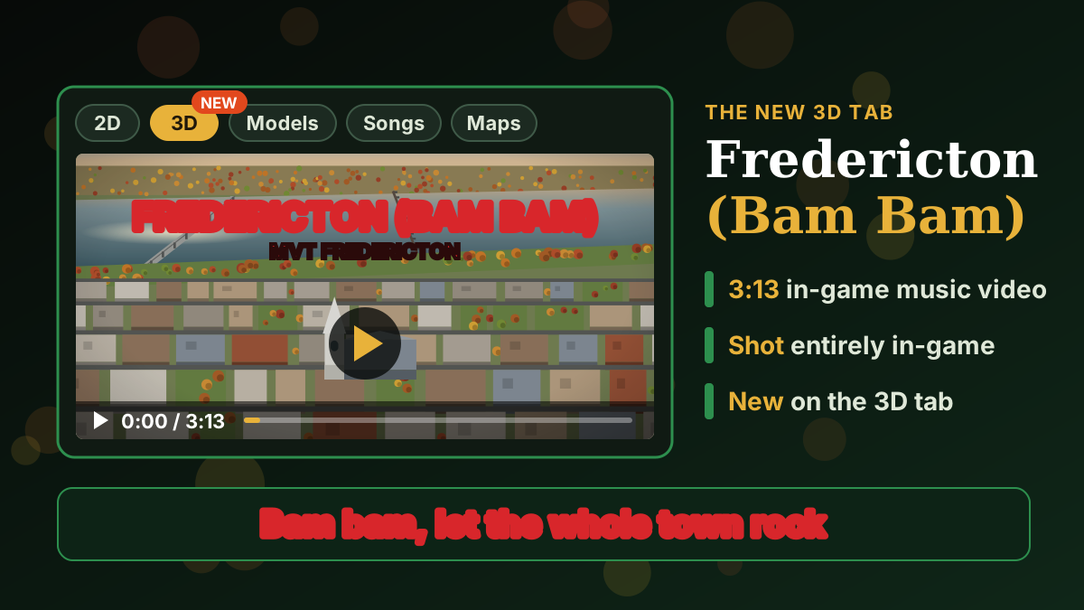
Building heights measured by laser, a 1 m terrain model from 26 billion LiDAR points, 15 cm aerial photos and measured river soundings: the open provincial data under the game's new 3D preview, and the same 3D map to explore. Disclosure: NB Tech News, MVT Fredericton and Maps of New Brunswick are all run by A&O.